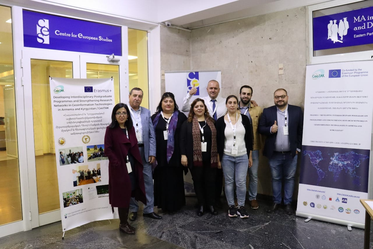


On October 26-27, 2023, Yerevan State University hosted a workshop focused on scientific research and innovation within the realm of Geographical Information Systems (GIS). This event was a key component of the Erasmus Plus project, titled “Developing Interdisciplinary Postgraduate Programmes and Strengthening Research Networks in Geoinformation Technologies in Armenia and Kyrgyzstan” (GeoTAK). Narine Harutyunyan, GeoTAK project team member and lecturer of the Chair of Engineering Geodesy has participated, representing the National University of Architecture and Construction of Armenia.
The workshop served as a platform for unveiling the outcomes of the analysis conducted during the GeoTAK project, exploring local and national needs in research and development. A notable highlight was the introduction of the collaborative new postgraduate program in geoinformation technologies, a joint effort involving three Armenian universities: National University of Architecture and Construction of Armenia (NUACA), Yerevan State University (YSU), Armenian National Agrarian University (ANAU).
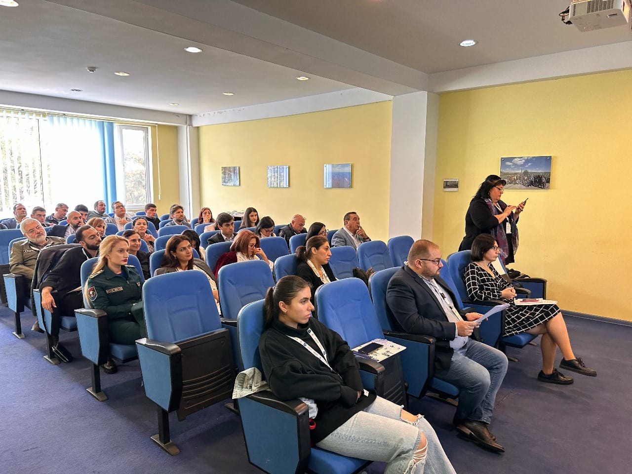
With a diverse and engaged audience of over 35 participants, the workshop featured presentations from various stakeholders, including researchers, lecturers, managers, PhD students, and representatives from both academic institutions (such as the National Academy of Sciences) and government bodies (including the Cadastre Committee). Additionally, local private companies, including Geocosmos, GeoVIBE, Urbalab, Geomapis, and Modul, played an integral role by contributing their perspectives and insights to the discussions.
This collaborative and interdisciplinary gathering underscored the commitment of academia, government bodies, and private enterprises to collectively advance research, innovation, and education in the dynamic field of Geographical Information Systems.
The event was attended by more than 35 people, including researchers, professors, managers, graduate students, and local stakeholders, both from public institutions such as the Cadaster committee and companies e.g. Geocosmos, GeoVIBE, urbalab, Geomapis, Modul, among others.